Vanuatu Boosts Disaster Resilience with Machine Learning Training
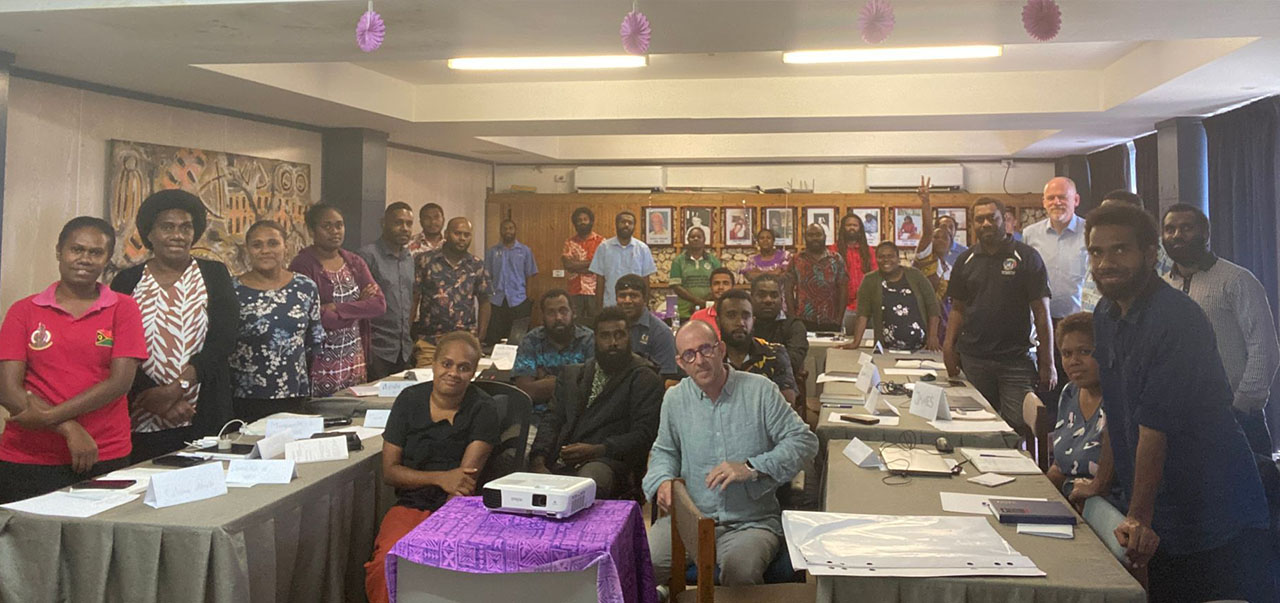
As part of the ambitious "Vanuatu Data Science Driving Innovation in Climate Change and Natural Disasters" project, the Vanuatu Bureau of Statistics (VBoS), in collaboration with the ESCAP SIAP, launched a vital two-week training program on "Machine Learning and GIS for Land Cover Estimation" yesterday in Port Vila. Funded by the UN Peace and Development Trust Fund, this initiative equips VBoS staff and representatives from various ministries with the skills to leverage Machine Learning (ML) and Geographic Information Systems (GIS) for land cover estimation, a crucial element in disaster preparedness and response.
This comprehensive program delves into:
- Data Science Fundamentals: Participants gain a solid foundation in data science concepts and their applications in official statistics, particularly relevant to disaster risk reduction efforts aligned with the Sustainable Development Goals (SDGs).
- Machine Learning Techniques: The training explores various Machine Learning algorithms like regression, classification, and random forests, alongside data visualization principles for effective communication.
- Practical Application: Moving beyond theory, participants engage in hands-on exercises, applying their newfound knowledge to real-world Vanuatu data relevant to disaster management.
- Working with Radiant Earth Data: A dedicated section focuses on deciphering the existing Radiant Earth project code and results, enabling participants to replicate and potentially improve land cover classification models specific to disaster risk assessment.
- Introduction to GIS: The program also introduces participants to GIS principles, equipping them with skills to manage and analyze spatial data for disaster preparedness.
By Leveraging innovative data science approaches, VBoS will be in a better positioned to generate more accurate and timely data to empower informed decision-making, ultimately saving lives and livelihoods in the face of natural disasters.


